Flooding and coastal impacts – planning for a safer, more resilient future
Share Flooding and coastal impacts – planning for a safer, more resilient future on FacebookShare Flooding and coastal impacts – planning for a safer, more resilient future on X (formerly Twitter)Share Flooding and coastal impacts – planning for a safer, more resilient future on LinkedinEmail Flooding and coastal impacts – planning for a safer, more resilient future link
Consultation has concluded.
**This consultation is now closed. Consultation closed Wednesday 3 December**
Flooding: Melbourne Water is leading the way
To help our community better understand and prepare for flooding events, Melbourne Water is working with all Council regions in Greater Melbourne, including Kingston, to update maps showing areas subject to flooding from extreme rainfall. The maps will help show where flooding is most likely to occur, and the impact it will have.
As the regional floodplain manager, Melbourne Water is guiding the technical side of this work. We’re supporting them by sharing local knowledge, coordinating community engagement, and ensuring the updated maps meet the needs of our community.
Why this matters for our community
Understanding where and how flooding happens helps us:
Make smarter decisions about where and how we build
Plan safer, more flood-resilient infrastructure
Give residents and businesses clearer information about risks
Improve emergency response and flood mitigation efforts
Support transparent and long-term community planning
Coastal impacts: rising seas and changing shores
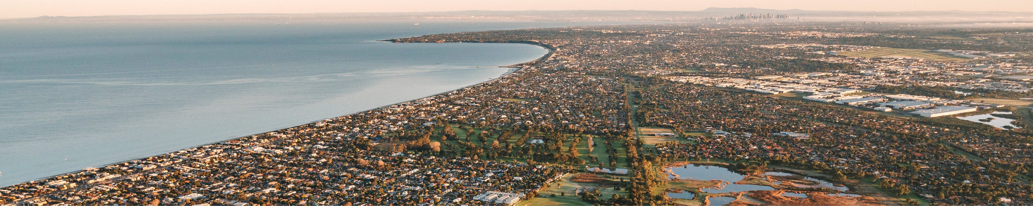
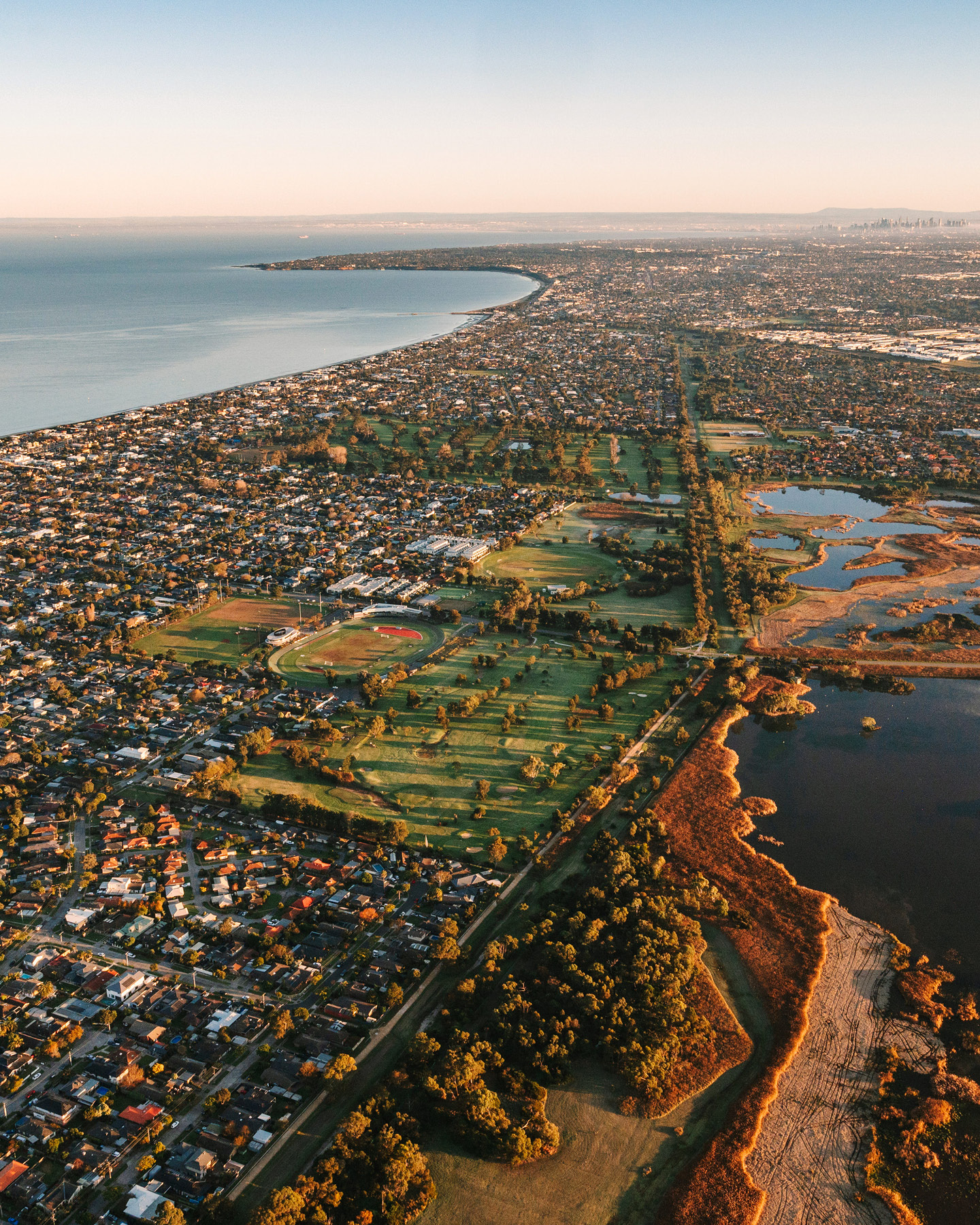
Alongside inland flooding, our 13km of coastline is also being impacted by higher waves, erosion of our beaches and shallow groundwater in low lying suburbs.
We’re using Victorian Government data that factors in sea level rise and storm surge to identify these coastal impacts. This information will help guide future planning and protect our foreshore and low-lying areas near the coast.
We need your help
Your local knowledge is crucial. Have you seen flooding in your street, backyard, or local park? Have you noticed erosion of beaches, coastal sand dunes, or unusually high tides? Have you noticed that your backyard or local reserve appear soggy, even when there has been no rain?
Please share your experience:
Take our short survey below
Drop a pin on the interactive map with your experience (best viewed using Chrome browser)
Or provide feedback in person at a pop-up community consultation: Meet with us in person at one of our Community Convo pop-ups. View dates and times here.
The more detail you provide – such as dates, locations, depth of water, or photos – the more helpful your input will be.
Your feedback will help guide informed decisions about future development, priority places for action and emergency response.
We will come back to the community with further information and consultation in early 2026.
Alternative options for sharing feedback:
If you'd prefer to share your thoughts via email, mail or phone, you can do so via:
**If you would like to report a current flooding issue, please use this link: Flooding - City of Kingston. Experiences shared or pinned via the tools below will not automatically generate requests for our Customer Care team.**
**This consultation is now closed. Consultation closed Wednesday 3 December**
Flooding: Melbourne Water is leading the way
To help our community better understand and prepare for flooding events, Melbourne Water is working with all Council regions in Greater Melbourne, including Kingston, to update maps showing areas subject to flooding from extreme rainfall. The maps will help show where flooding is most likely to occur, and the impact it will have.
As the regional floodplain manager, Melbourne Water is guiding the technical side of this work. We’re supporting them by sharing local knowledge, coordinating community engagement, and ensuring the updated maps meet the needs of our community.
Why this matters for our community
Understanding where and how flooding happens helps us:
Make smarter decisions about where and how we build
Plan safer, more flood-resilient infrastructure
Give residents and businesses clearer information about risks
Improve emergency response and flood mitigation efforts
Support transparent and long-term community planning
Coastal impacts: rising seas and changing shores
Alongside inland flooding, our 13km of coastline is also being impacted by higher waves, erosion of our beaches and shallow groundwater in low lying suburbs.
We’re using Victorian Government data that factors in sea level rise and storm surge to identify these coastal impacts. This information will help guide future planning and protect our foreshore and low-lying areas near the coast.
We need your help
Your local knowledge is crucial. Have you seen flooding in your street, backyard, or local park? Have you noticed erosion of beaches, coastal sand dunes, or unusually high tides? Have you noticed that your backyard or local reserve appear soggy, even when there has been no rain?
Please share your experience:
Take our short survey below
Drop a pin on the interactive map with your experience (best viewed using Chrome browser)
Or provide feedback in person at a pop-up community consultation: Meet with us in person at one of our Community Convo pop-ups. View dates and times here.
The more detail you provide – such as dates, locations, depth of water, or photos – the more helpful your input will be.
Your feedback will help guide informed decisions about future development, priority places for action and emergency response.
We will come back to the community with further information and consultation in early 2026.
Alternative options for sharing feedback:
If you'd prefer to share your thoughts via email, mail or phone, you can do so via:
**If you would like to report a current flooding issue, please use this link: Flooding - City of Kingston. Experiences shared or pinned via the tools below will not automatically generate requests for our Customer Care team.**
Share Update on Kingston’s Flooding and Coastal Impacts Community Consultation on FacebookShare Update on Kingston’s Flooding and Coastal Impacts Community Consultation on X (formerly Twitter)Share Update on Kingston’s Flooding and Coastal Impacts Community Consultation on LinkedinEmail Update on Kingston’s Flooding and Coastal Impacts Community Consultation link
We’d like to thank everyone who provided feedback during our community consultation on flooding and coastal impacts in Kingston.
You can view a summary report of the feedback we received in the Documents library on the right-hand side of the project page.
Council will incorporate this feedback into the next steps for Melbourne Water’s consultation on flooding updates, and Council’s work to assess coastal impacts within Kingston to guide future planning for the foreshore and low-lying areas.
Melbourne Water will be leading a formal community consultation process for the flooding updates. We anticipate that this will not commence for the Kingston area until 2027.
The Victorian Government is also planning initiatives that could help further our understanding of local coastal impacts and inform future adaptation projects. Further consultation is on hold while Council officers seek more information about how these might apply in Kingston.
You can stay up-to-date on all upcoming community consultations by registering an account on Your Kingston Your Say and opting in to receive news from us.
We’d like to thank everyone who provided feedback during our community consultation on flooding and coastal impacts in Kingston.
You can view a summary report of the feedback we received in the Documents library on the right-hand side of the project page.
Council will incorporate this feedback into the next steps for Melbourne Water’s consultation on flooding updates, and Council’s work to assess coastal impacts within Kingston to guide future planning for the foreshore and low-lying areas.
Melbourne Water will be leading a formal community consultation process for the flooding updates. We anticipate that this will not commence for the Kingston area until 2027.
The Victorian Government is also planning initiatives that could help further our understanding of local coastal impacts and inform future adaptation projects. Further consultation is on hold while Council officers seek more information about how these might apply in Kingston.
You can stay up-to-date on all upcoming community consultations by registering an account on Your Kingston Your Say and opting in to receive news from us.
Consultation has concluded.
Consultation open
Flooding and coastal impacts – planning for a safer, more resilient future has finished this stage
Feedback on this project is closed.
Under Review
Flooding and coastal impacts – planning for a safer, more resilient future has finished this stage
Feedback received Tuesday 2 September 2025 - Wednesday 3 December 2025 has been reviewed.
You can download the Consultation Summary Report below.
Next steps
Flooding and coastal impacts – planning for a safer, more resilient future is currently at this stage
Council will incorporate this feedback into the next steps for Melbourne Water’s consultation on flooding updates, and Council’s work to assess coastal impacts within Kingston to guide future planning for the foreshore and low-lying areas.